DJI Matrice 4E
The survey workhorse. Enterprise mapping airframe with RTK positioning support and a mechanical shutter — built for the high-overlap grid flights that photogrammetry and topographic survey depend on.
PHOTOGRAMMETRY · MAPPING · RTK
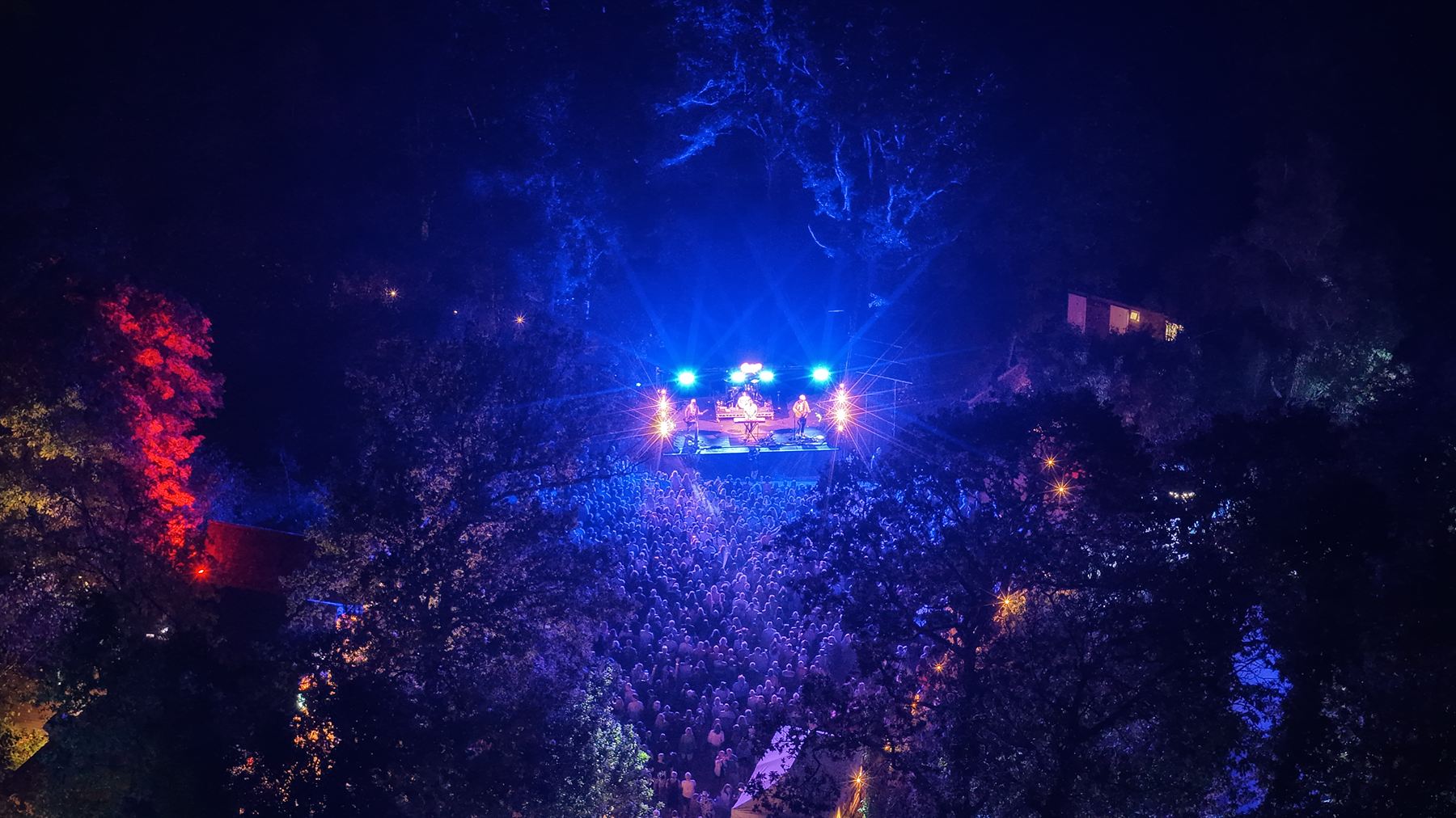
Strings Festival · The Woodland Venue, Robin Hill
The story, the people and the equipment behind LAM Geospatial.
Flown and graded in-house — Strings Festival, Robin Hill
Meet the team
A face and a name behind every survey and every shoot.

Director & UAV Pilot
Before Lane Aerial Media Ltd (LAM Geospatial), I spent over two years operating drones for work, delivering internal communications through bespoke video production — alongside events planning and delivery for business.
That combination matters more than it might sound. Both strands were delivered in a commercial environment — to budgets, to deadlines, and to stakeholders who expected a return on the spend. So I approach a survey dataset the same way I approach a film: what is it for, who has to act on it, and what will it be judged against?
Industry or events, the commercial question is the same one. That's the part a lot of technically capable suppliers miss.
Our story
Why a sideline became a company — and what it's being built toward.
Lane Aerial Media Ltd was formed to build on those skills properly rather than leave them as a sideline — to turn something I was already good at into a business with a future in it.
The work I care about sits where creative and data-driven meet. The same flight can produce a striking image and an accurate dataset, and in practice most clients need both. Nobody buys visual media or point clouds for their own sake — they buy something that has to earn its place.
I'm building this for the long term, and for my family's security as much as my own.
The fleet
Matched to the work rather than one airframe stretched across everything.
The survey workhorse. Enterprise mapping airframe with RTK positioning support and a mechanical shutter — built for the high-overlap grid flights that photogrammetry and topographic survey depend on.
PHOTOGRAMMETRY · MAPPING · RTK
The camera ship. Flagship imaging for event coverage, property and marketing work — the aircraft behind the night-time festival stills, where low light and fast-changing stage lighting give sensors the hardest time.
AERIAL MEDIA · EVENTS · LOW LIGHT
Sub-250g. The lightest regulatory category, which makes it the right tool for tight, built-up or access-restricted sites where a heavier airframe would need more room than the location allows.
SUB-250G · CONFINED SITES · ROOF INSPECTION
The ground truth. A survey-grade multi-band RTK GNSS receiver, used to establish ground control and independent check points — the part of the process that turns a good-looking model into a measurable one.
RTK GNSS · GROUND CONTROL · CHECK POINTS
Accuracy comes from the ground control and flight design, not just the aircraft — which is why the base station matters as much as the drones.
In the field
Space for real photos from recent flights — equipment, sites, and the team at work.
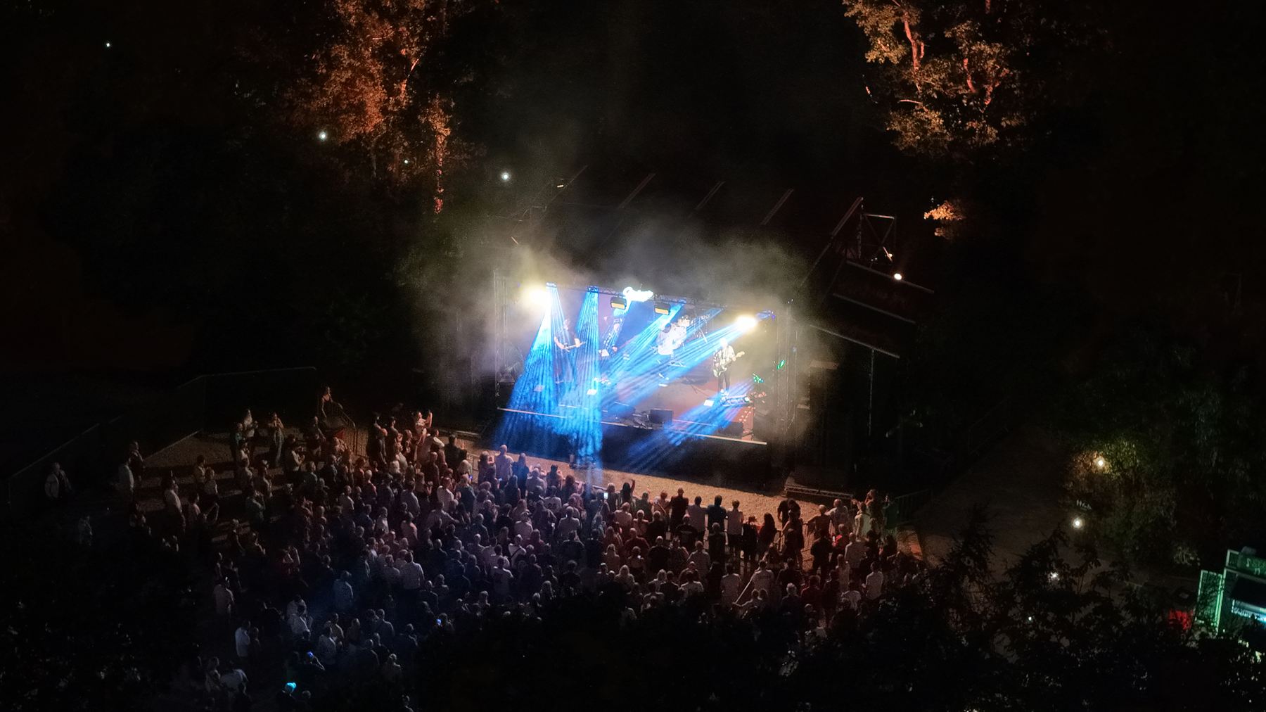
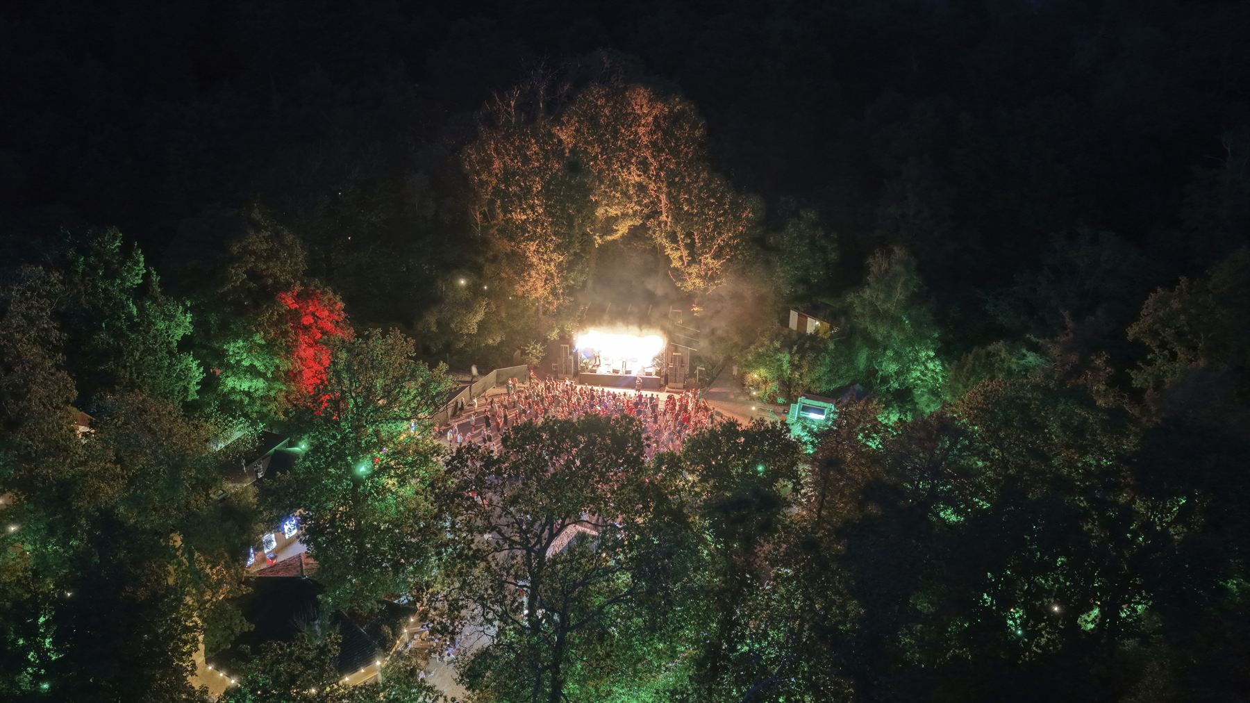
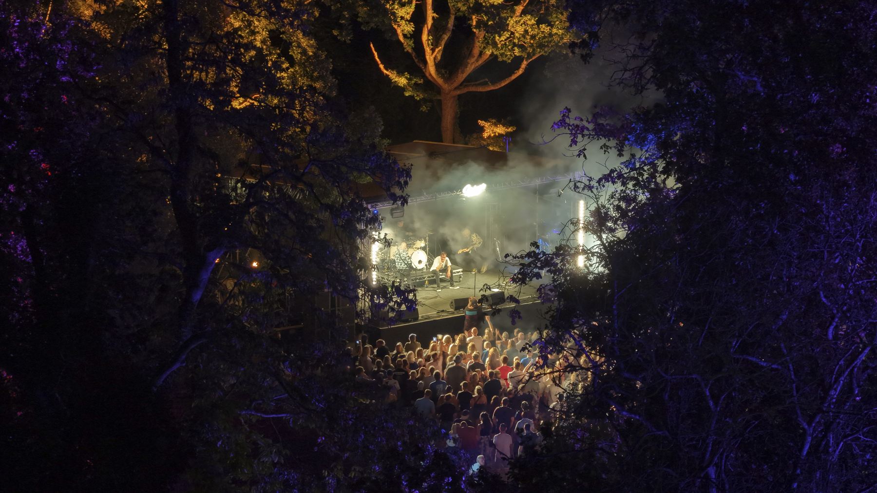
More to come as survey and inspection work is photographed — equipment, sites and the team in the field.
Flight compliance
Every job is planned and flown under the same standard, whatever the size of the site.
Get in touch
Tell us about your site or project — we'll come back with availability and a price.
Request a Quote