Topographic Survey
Ground elevation captured across the whole site, delivered as a DEM/DTM to your coordinate reference system of choice.
DEM/DTM · OSGB36 / BNG
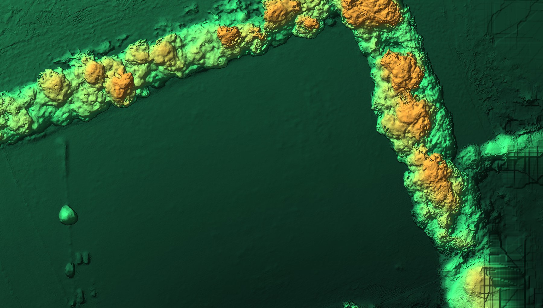
Digital surface model · 1.85 cm ground sample distance
Topographic survey, orthomosaic mapping and site-progress monitoring — for construction, land and coastal projects.
Our own survey data — ground and canopy as measured height
What's included
Most jobs combine two or three of these from a single site visit.
Ground elevation captured across the whole site, delivered as a DEM/DTM to your coordinate reference system of choice.
DEM/DTM · OSGB36 / BNG
Geometrically corrected, true-to-scale aerial imagery stitched into a single site-wide map.
GSD ≈ 2–4 CM/PX · 70–80% OVERLAP
Repeat flights on the same flight lines, overlaid to track earthworks, stockpiles and build progress over time.
REPEAT SURVEY · VOLUMETRIC CHANGE
Your deliverable
A live, measurable site model in your browser — with the survey files supplied alongside it.
Surveys are delivered through our own client portal. Open the site, take a section anywhere along a road or excavation, check a level, measure a distance — without a GIS seat, a CAD licence or anything to install.
Because each survey sits alongside the last, progress becomes something you can show rather than describe.
Output formats
GEOTIFF · JPEG
CONTOUR INTERVAL 0.5M
DWG/DXF · SPOT LEVELS
DATE-STAMPED · OVERLAY COMPARISON
Defensibility is not determined by the absence of error, but by the precise measurement, statistical proof and transparent documentation of that error.
Worting House, Basingstoke
The same parkland, captured once on a 6.5-hectare estate survey — delivered as a true-colour map and as measurable height.
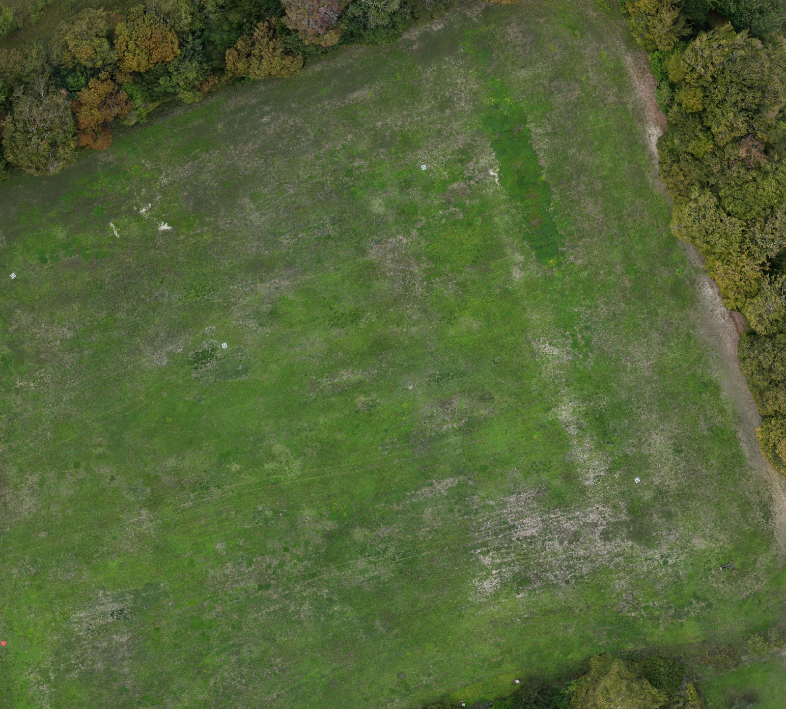
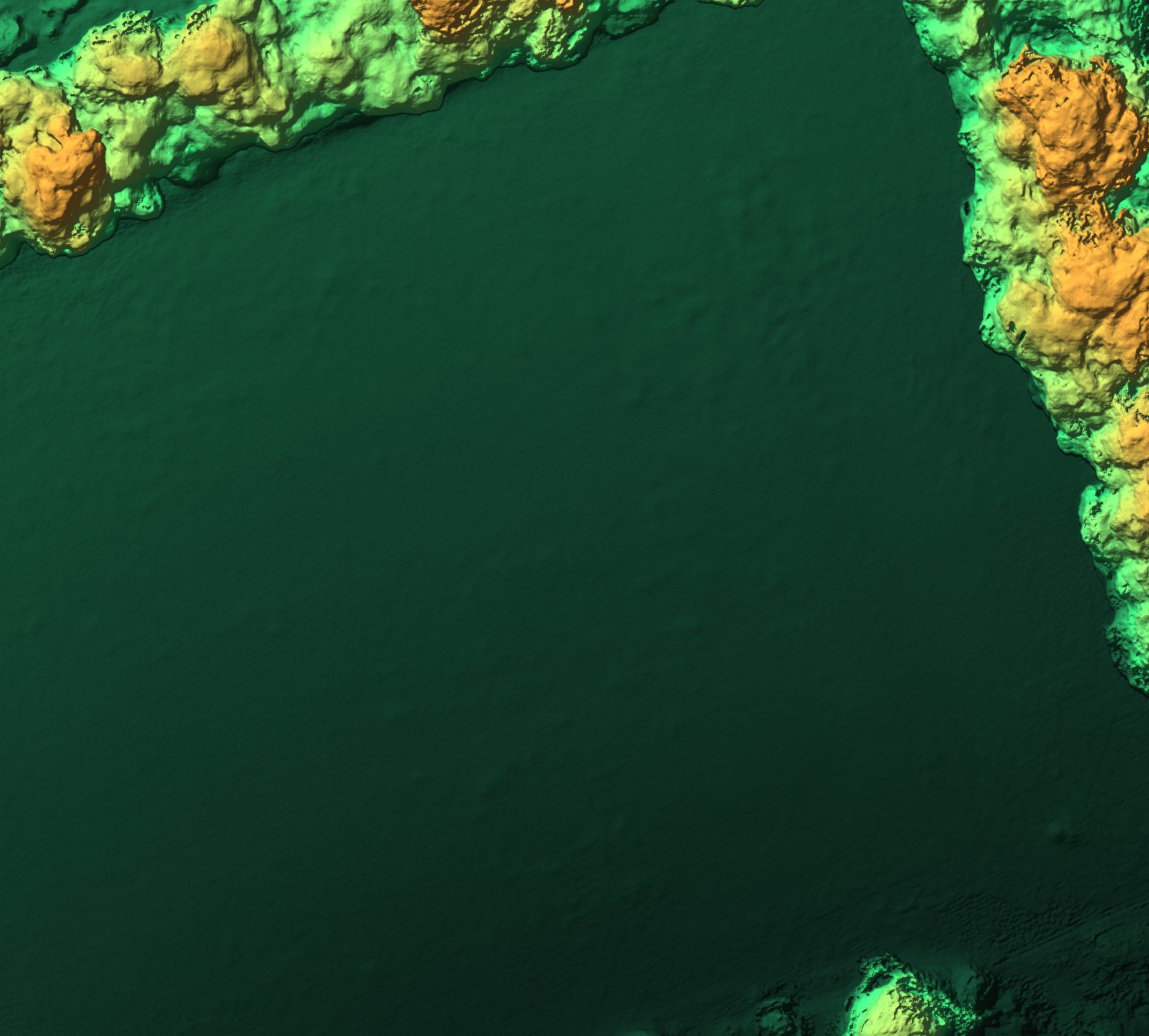
Both come from the same set of overlapping images, flown at Worting House, Basingstoke. Ground sits around 172 m, rising to roughly 197 m at the tree canopy — every hedgerow and field undulation carried as measurable height rather than as a picture of one.
Why drone mapping
Where an aerial photogrammetric survey outperforms a conventional ground survey.
| Factor | Traditional ground survey | LAM aerial survey |
|---|---|---|
| Time on site | Multiple visits, often days for larger sites | Single flight session, typically hours |
| Site access & safety | Personnel on foot across the whole site, including unstable ground or live plant areas | No one needs to physically access hazardous or restricted ground |
| Coverage | Discrete surveyed points and cross-sections | Continuous coverage — every square metre of the site captured |
| Deliverables | 2D drawings, spot levels, written reports | Orthomosaic, DEM/DTM & topographic drawing |
| Accuracy | Survey-grade, dependent on method & equipment | Survey-grade with Emlid Reach RS4 ground control & RTK positioning ¹ |
| Cost driver | Scales with crew time and number of site visits | Scales with site size and deliverable complexity ² |
Get in touch
Tell us the site size, coordinate system and what you need delivered — we'll come back with availability and a price.
Request a Quote