Flagship service
Photogrammetry & 3D Modelling.
Overlapping aerial imagery, processed into survey-grade point clouds, meshes and volumetric reports — the core of what LAM Geospatial does.
Digital surface model from one of our own survey flights — real ground, real hedgerows.
How it works
From overlap to model.
Photogrammetry rebuilds 3D geometry from ordinary photographs — and the accuracy comes as much from the method as the camera.
Capture
Overlapping stills flown in a grid pattern — typically 70–80% front and side overlap, altitude set to the ground sample distance the deliverable needs.
Match
Software finds shared features across thousands of overlapping frames and solves each camera's position — structure-from-motion.
Densify
Multi-view stereo fills in the detail between matched points, building a dense point cloud of the whole site.
Model
The point cloud becomes a mesh, orthomosaic, DEM/DTM or volumetric report — whichever format the job calls for.
Centimetre-accurate drone surveys are not automated outputs. They are the result of deliberate, mathematically defensible choices.
Your deliverable
What you receive.
A live, measurable model you open in a browser — with every underlying file supplied alongside it.
A model you can measure, not a folder you can't open.
Completed datasets are delivered through our own client portal. You open the survey in a browser — pan it, measure it, section it, share it — with nothing to install and no specialist GIS or CAD licence to buy. The raw files come with it for your own workflows.
If a figure is ever questioned, it opens back to the measurement it came from. Everyone is looking at the same site.
- Measure anything on screen Distances, heights, areas and cross-sections taken straight off the model.
- Volumes you can stand behind Draw around a stockpile for cubic metres and tonnage — with the working shown.
- Compare one survey against the next Period-to-period change, or measured against a design surface.
- Share it with a link Your team, your client, your insurer. No software for them to buy.
- Hosted for twelve months, extended by arrangement Included in the project price, not billed to you as a yearly licence.
Output formats
Point Cloud
STRUCTURE-FROM-MOTION · RGB-COLOURED
Mesh Model
TRIANGULATED SURFACE · OBJ/PLY
DEM / DTM
ELEVATION MODEL · CONTOUR EXPORT
Volumetric Report
STOCKPILE · CUT/FILL · EARTHWORKS
Worting House, Basingstoke
Real capture. Real control.
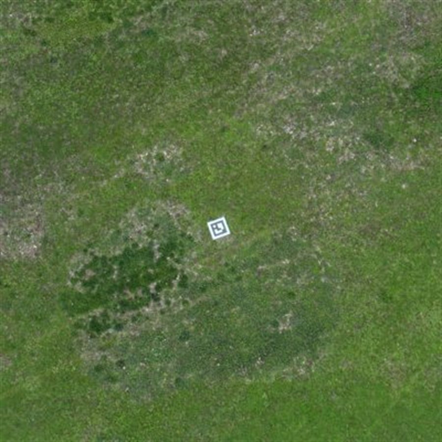
Parkland flown and processed in-house across a 6.5-hectare capture — the ground control targets are still visible in the grass.
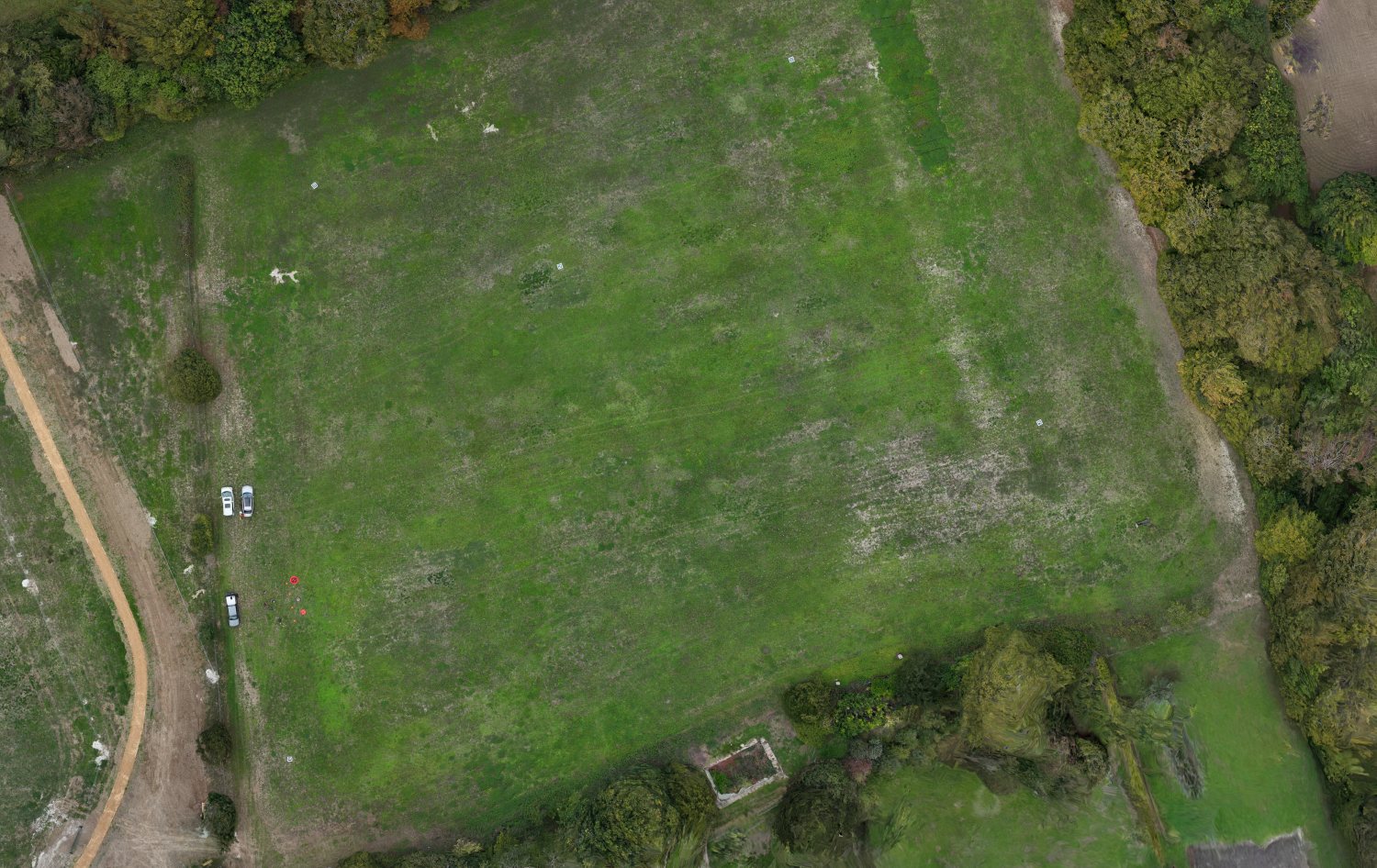
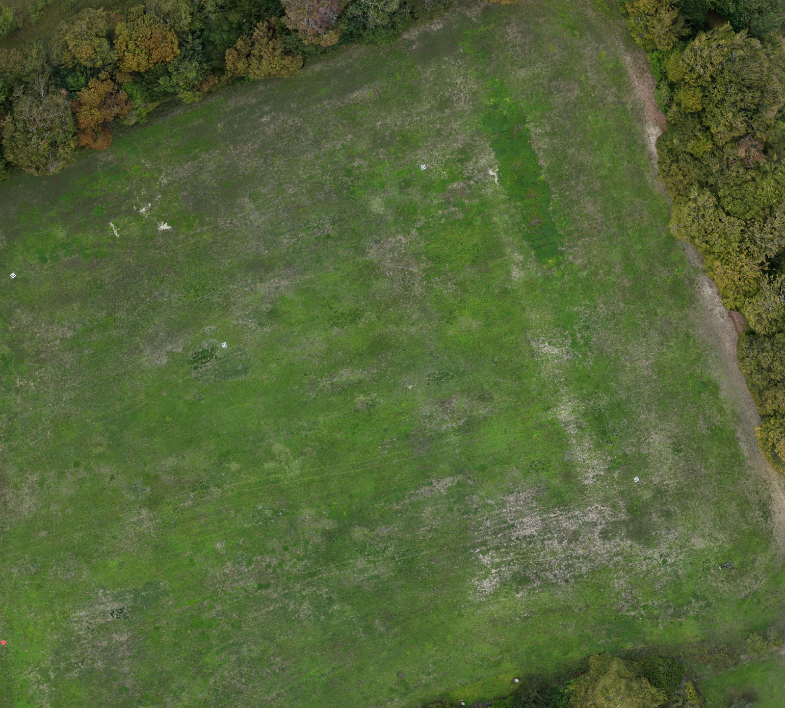
- Ground sample distance1.85 cm
- Dense point cloud12.4M points
- Images captured191
- Area covered6.5 ha
- Time in the air4 min 20 s
- Ground controlEmlid RS4 RTK
Figures taken from the processing report for this flight at Worting House, Basingstoke. Project accuracy is confirmed per site — see accuracy.
Volumetric measurement
Quantities, not just pictures.
Comparing a surveyed point cloud against a design surface or an earlier survey turns geometry into a number you can act on.
| Measurement | Method | Example output |
|---|---|---|
| Stockpile volume | Point cloud vs. ground plane | 1,240 m³ (illustrative) |
| Cut / fill | Design surface vs. as-flown surface | −860 m³ cut (illustrative) |
| Progress over time | Survey vs. previous survey | +310 m³ this period (illustrative) |
Figures above are illustrative formatting examples, not real project data.
Why drone photogrammetry
Drone survey vs. traditional survey.
Where an aerial photogrammetric survey outperforms a conventional ground survey.
| Factor | Traditional ground survey | LAM drone photogrammetry |
|---|---|---|
| Time on site | Multiple visits, often days for larger sites | Single flight session, typically hours |
| Coverage | Discrete surveyed points and cross-sections | Continuous coverage — every square metre of the site captured |
| Repeat monitoring | A fresh visit, and cost, each time the site changes | Repeat flights overlay directly for progress and volumetric change over time |
| Equipment | Standard survey-grade instruments | DJI Matrice 4E with RTK & Emlid Reach RS4 base station |
| Accuracy | Survey-grade, dependent on method & equipment | Survey-grade with Emlid Reach RS4 ground control & RTK positioning ¹ |
| Cost driver | Scales with crew time and number of site visits | Scales with site size and deliverable complexity ² |
Get in touch
Have a site that needs modelling?
Tell us the site size, what you need measured, and the format you work in — we'll come back with a plan and a price.
Request a Quote